Should Company Commanders Have Dedicated GIS Assets?
By Captain Ryan M. Kossover
Article published on: January 1, 2024 in the Engineer 2024 Annual Issue
Read Time: < 5 mins
Over the past few decades, it has become clear that geospatial information system (GIS) technologies and databases can enhance U.S. Army organizational performance. A GIS provides the ability to perform advanced terrain analysis and create maps and common operating pictures—and commanders at any level can benefit from GIS products. However, while GIS assets are regularly employed at higher echelons for strategic and operational levels of planning, it is evident that company commanders need greater access to these tools to create their own on-demand products. Why do company commanders need geospatial capability? Because their Soldiers’ lives depend on accurate intelligence.
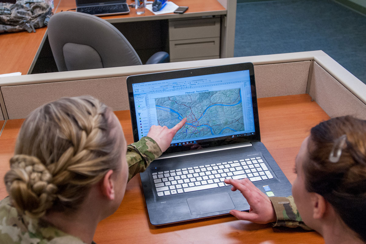
Soldiers identify a location on a map produced by geospatial engineers.
GIS availability at the company level is sparse. However, commanders can receive assistance and products from technical experts at the U.S. Army Corps of Engineers Reachback Operations Center, U.S. Army Engineer Research and Development Center, Vicksburg, Mississippi. In addition, various agencies and websites allow leaders to gather intelligence and analyze the battlefield via GIS products and aerial imagery from satellites. For example, the military tools provided by ArcGIS© simplify the use of a GIS platform, enabling product creation based on different mission sets and a streamlined intelligence workflow. A designated person from an organization creates an organizational account that enables other personnel from that organization to use the tools. The organizational account does cost money, but use of the account by the additional personnel does not incur any further expense.
The primary intelligence source for company commanders is the operations section (S-2) at the battalion and brigade levels. The higher echelons provide products conducive to creating the common operating picture, which enables streamlined planning and vertical and lateral communication within and across chains of command. However, issues arise because only sometimes do company commanders receive products that contain the details needed for their respective operations. Commanders need information about current conditions on the ground (for example, information about the distance that the vegetation or terrain affords for direct-fire engagements, what the enemy sees from its perspective, or locations of potentially fordable water crossings). While aerial imagery can provide current information, outdated topographic maps cannot. Although topographic maps remain the basis for all planning, unless they are georeferenced with current aerial imagery, they are likely outdated and will fail to account for changes in the terrain and environment due to human intervention. Therefore, the only way to account for the potential changes without GIS capability is to make assumptions in the plan; this is an educated gamble. Commanders can make informed decisions only when questions are answered and assumptions are turned into facts.
So, how would the U.S. Army give company commanders GIS capability? There are some cheap, practical ways to approach this problem. One potential solution would be to create a more robust introduction to the technologies and software available. Students in Army leadership courses such as the Engineer Senior Leader Course, Engineer Advanced Leader Course, Engineer Captain’s Career Course, and Engineer Basic Officer Leadership Course could be exposed to the free GIS resources that are readily available to them through the Department of Defense. They could create accounts to gain access to agencies and websites, gain knowledge and practical experience through the courses, and take that knowledge and experience to their units. Another potential solution would be to incorporate registration for GIS website accounts for certain ranks into company and battalion in-processing procedures so that those personnel would have access to GIS capabilities already at the disposal of the Army.
A more robust potential solution could include forming GIS planning cells and assigning Military Occupational Specialty (MOS) 12Ys—Geospatial Engineers to the battalion S-2 to assist in the production of GIS products. Taking this a step further, MOS 12Ys could be assigned to the operations section at the company level; they could specialize in coordinating GIS analysis efforts between the company and higher-level GIS cells. Having GIS specialists at the disposal of the company commander would greatly enhance tactical planning and would allow commanders to distribute tailored products to their platoons to carry out the mission. If, for whatever reason, this arrangement were not feasible, then the battalion could designate one of its personnel to hold an ArcGIS organizational account and one or two company personnel could be granted access to the organizational account to use the GIS platform. The issue of which organizational funds would be used to pay for the organizational account might arise; but compared to the wages of personnel, this expense would be relatively minor.
GISs contain fantastic sets of tools that can be used by any Army leader. It is an engineer officer’s duty to provide the best engineer capabilities possible to the maneuver units that he or she supports. That requires an understanding of GISs and knowledge about how to employ them to help accomplish the mission and reduce the loss of life in the process. Making GIS assets more accessible to company commanders would streamline the flow of intelligence up and down the chain of command while giving the commanders the perspective of the battlespace their operations demand. The presence of dedicated GIS assets at the company level—either in the form of free software or MOS 12Ys—can only lead to a better outcome for the U.S. Army. A more informed commander makes better decisions.
Author
Captain Kossover is the source selection supplement future operations officer for the 82d Brigade Engineer Battalion, 2d Armored Brigade Combat Team, 1st Infantry Division, Fort Riley, Kansas. He holds a bachelor’s degree in business administration management from the University of North Georgia, Dahlonega, and a master’s degree in geological engineering from the Missouri University of Science and Technology at Rolla.